
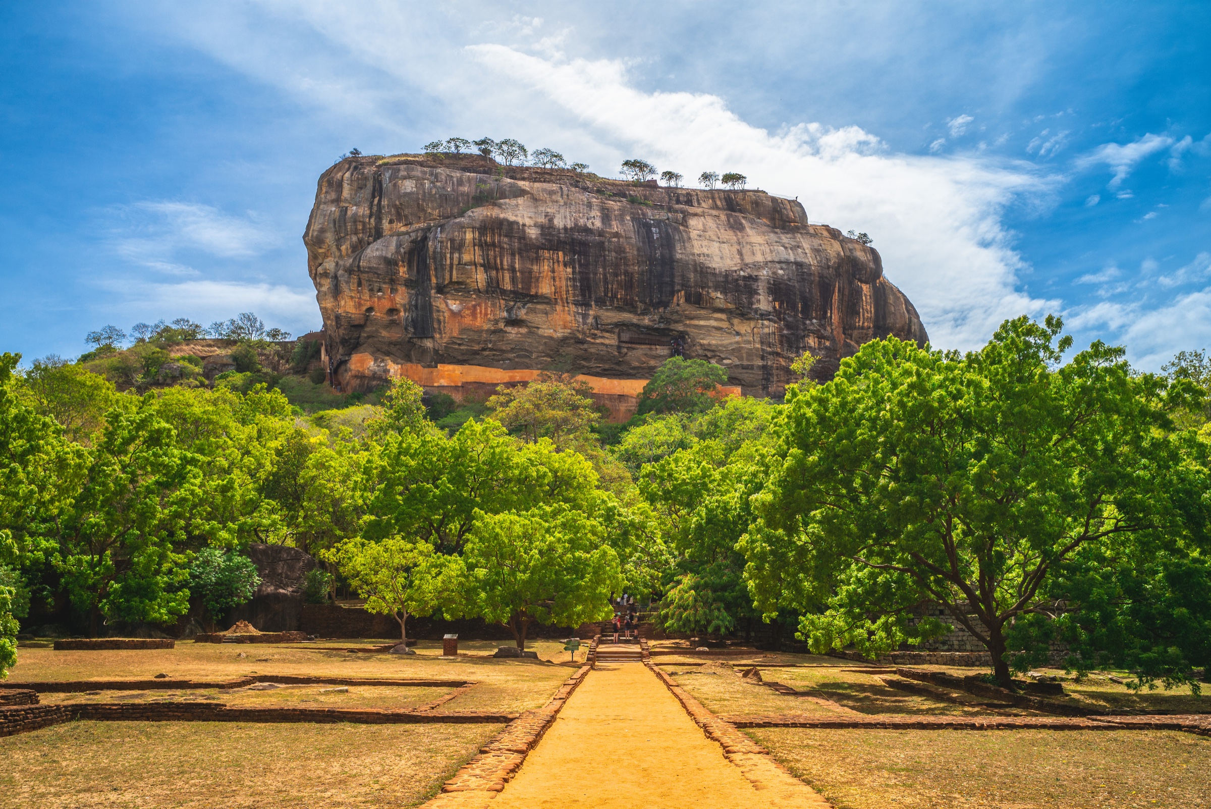
Sri Lanka
Sri Lanka, before you map the route.
Living cultures, landscapes that keep changing, and two monsoons that shape the right journey.
Before the stops
One island, many worlds.
A route gains depth when you understand what surrounds it. Here, history, belief, cuisine and climate are never just a backdrop: they give the journey its meaning.
We shape every journey around your wishes, pace and travel dates, pairing Sri Lanka's essential places with more confidential addresses chosen for their character, authenticity and setting.
- 2,500 years
- of living history
- 2 monsoons
- that shift the coasts
- 9 regions
- to connect at your pace
Read the island
What the route tells you, before you even leave.
Five reference points to see the country you are about to cross more clearly. Read them now, or keep them for the road.
01HistoryA civilisation that never really stopped
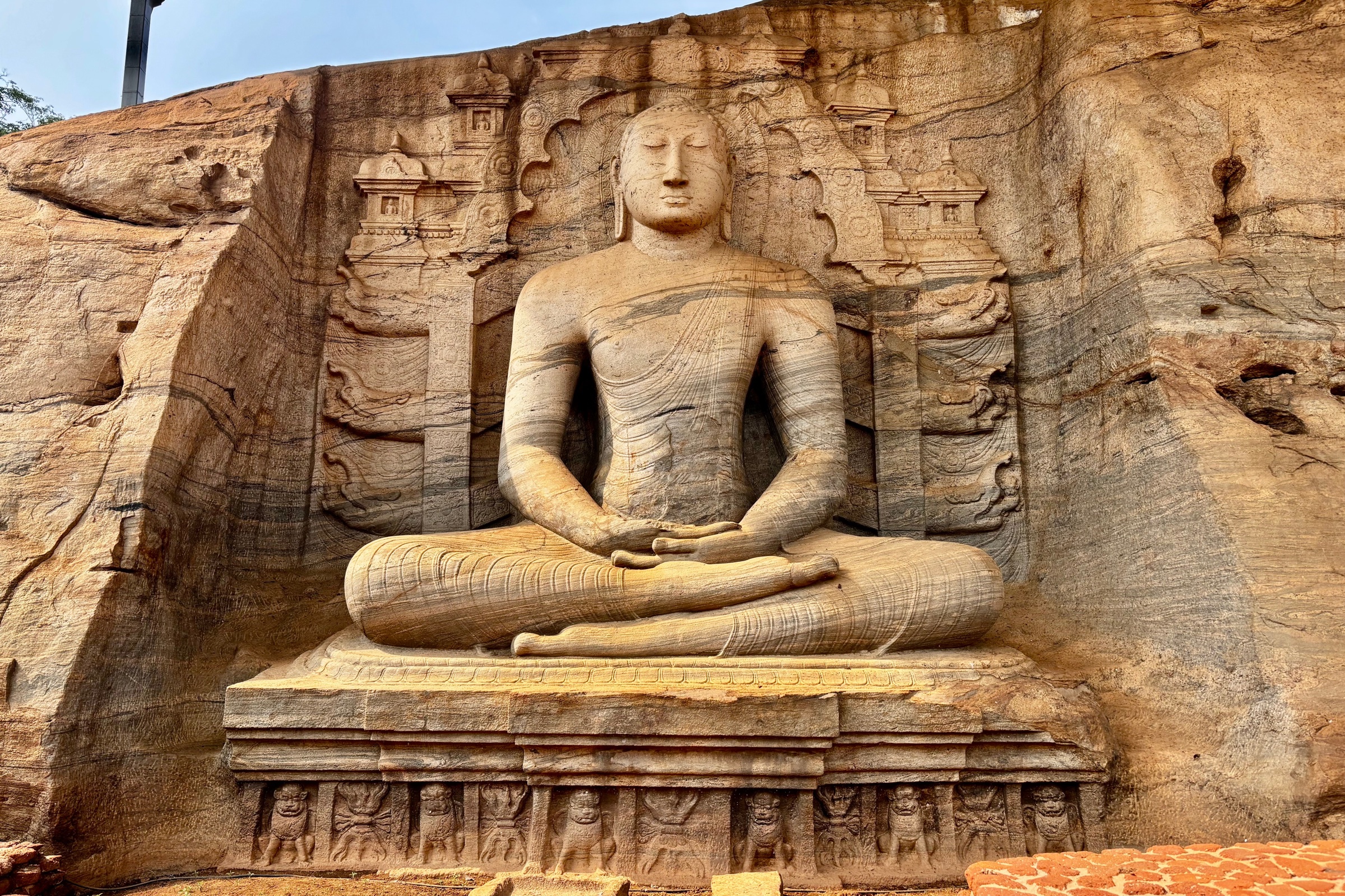
Two and a half thousand years of history: builder kings, three colonial powers and the tea that eventually gave the island its name.
Anuradhapura, the country's first capital, was founded more than 2,300 years ago. Buddhism arrived in the 3rd century BCE through Mahinda, son of the Indian emperor Ashoka. It became the island's backbone. Successive kings built whole cities and irrigation reservoirs so well designed that some are still in use.
From 1505, the coast passed from the Portuguese to the Dutch and then the British, who took the kingdom of Kandy in 1815 and unified the island under one authority. When disease ruined coffee around 1870, tea took its place. Ceylon tea and the plantations of the high country followed.
Independence came in 1948 under the name Ceylon; the country became Sri Lanka in 1972. Civil war affected the North and East from 1983 to 2009, followed by the 2004 tsunami. The island has since reopened in full, including Jaffna and the North, long inaccessible.
02CultureSeveral peoples, several gods, one island
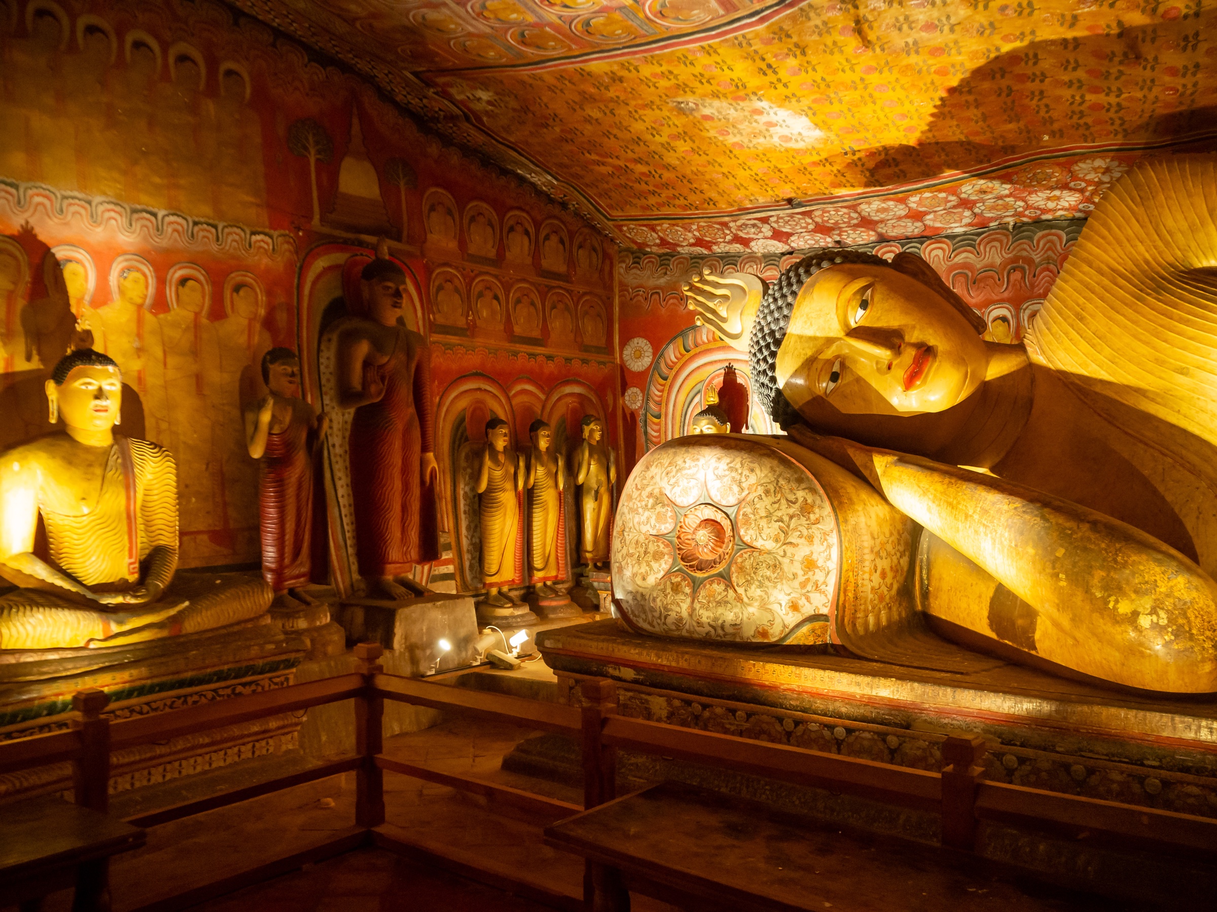
Buddhists, Hindus, Muslims and Christians, three languages, a public holiday at every full moon and cricket that stops everything.
Sri Lanka has around twenty-two million inhabitants. The Sinhalese majority is Buddhist; Tamils, concentrated in the North and East, are mainly Hindu; Muslim and Christian communities add to the picture. Sinhala, Tamil and English are all heard. Three scripts and several calendars share a territory about the size of Ireland.
Buddhism sets the rhythm of the day through white dagobas, the Temple of the Tooth in Kandy and a holiday at each full moon. In Jaffna, brightly coloured Hindu temples tell of another side of the country. This diversity is not a backdrop: it is everyday life.
Life unfolds outdoors, in markets, tuk-tuks and roadside tea stalls. Then there is cricket, the one thing capable of stopping the country for a whole afternoon. Food deserves its own chapter.
03FoodRice and curry, and everything around it
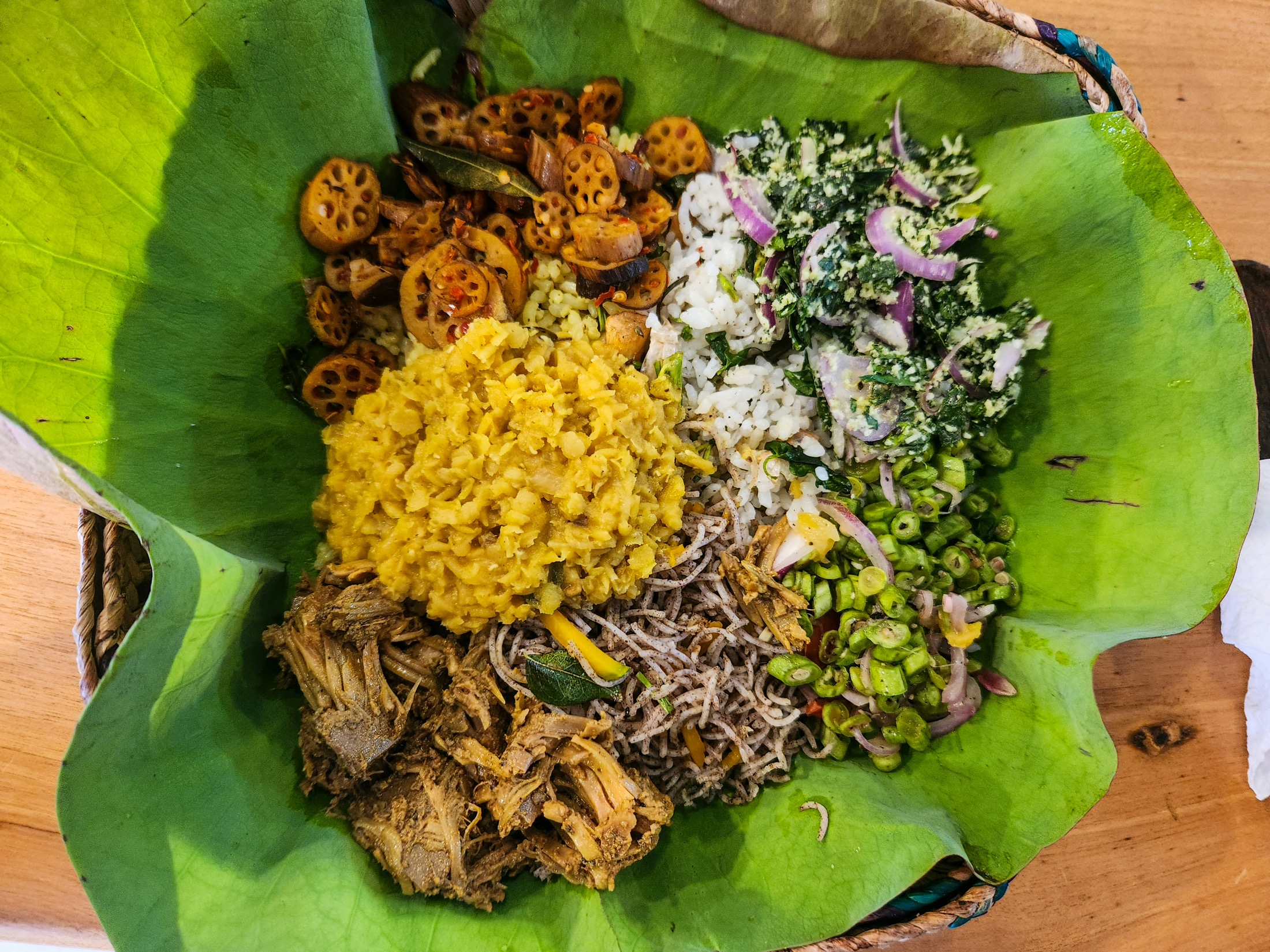
Rice surrounded by small dishes, bowl-shaped pancakes at breakfast, true cinnamon and Ceylon tea: food here tastes like nowhere else.
The national lunch is rice and curry: rice in the middle, surrounded by a constellation of dishes. Lentil dhal, fish or chicken curry, unfamiliar vegetables and pol sambol, a lively grated-coconut relish. Every home has its version, and none tastes quite the same.
Mornings belong to hoppers, fermented rice pancakes cooked like bowls, crisp at the edge and soft in the centre. String hoppers are their steamed noodle cousins. In the evening, you hear kottu before you see it: roti chopped at speed on a griddle with vegetables, egg or meat.
Sri Lanka is also an island of spices. True cinnamon grows here, finer and softer than cassia. Cardamom, pepper, turmeric and curry leaves scent the cooking, while Ceylon tea from the Highlands is drunk from morning until night.
One friend's tip: eat locally. The best rice and curry often comes from modest lunchtime cafés rather than hotel buffets. Try a thambili too, the orange king coconut opened by the roadside.
04GeographyAn island on three levels
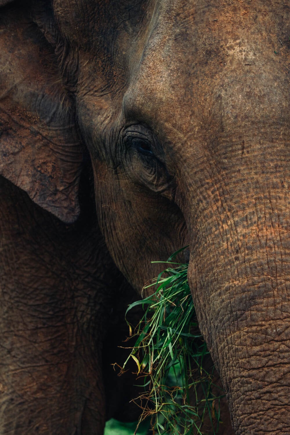
About the size of Ireland: beaches all around, dry country to the North and tea at 2,500 metres in the centre, with leopards, elephants and blue whales in between.
Sri Lanka covers around 65,000 square kilometres, a little less than Ireland, off the southern tip of India. A narrow strait and chain of islets, Adam's Bridge, separate them. Its teardrop shape can be crossed in about an hour by air.
The island has three distinct layers: a coastal plain all around, a broad dry zone in the North and East, then central highlands rising to 2,524 metres. This is where tea grows, waterfalls fall and Adam's Peak rises, sacred to four religions.
For its size, wildlife is exceptional: leopards, elephants gathering in their hundreds during the dry season, blue whales off both coasts and the UNESCO-listed primary forest of Sinharaja. Two weeks here can bring more wildlife encounters than countries ten times larger.
05SeasonsSeveral seasons, and why your travel month shapes the route
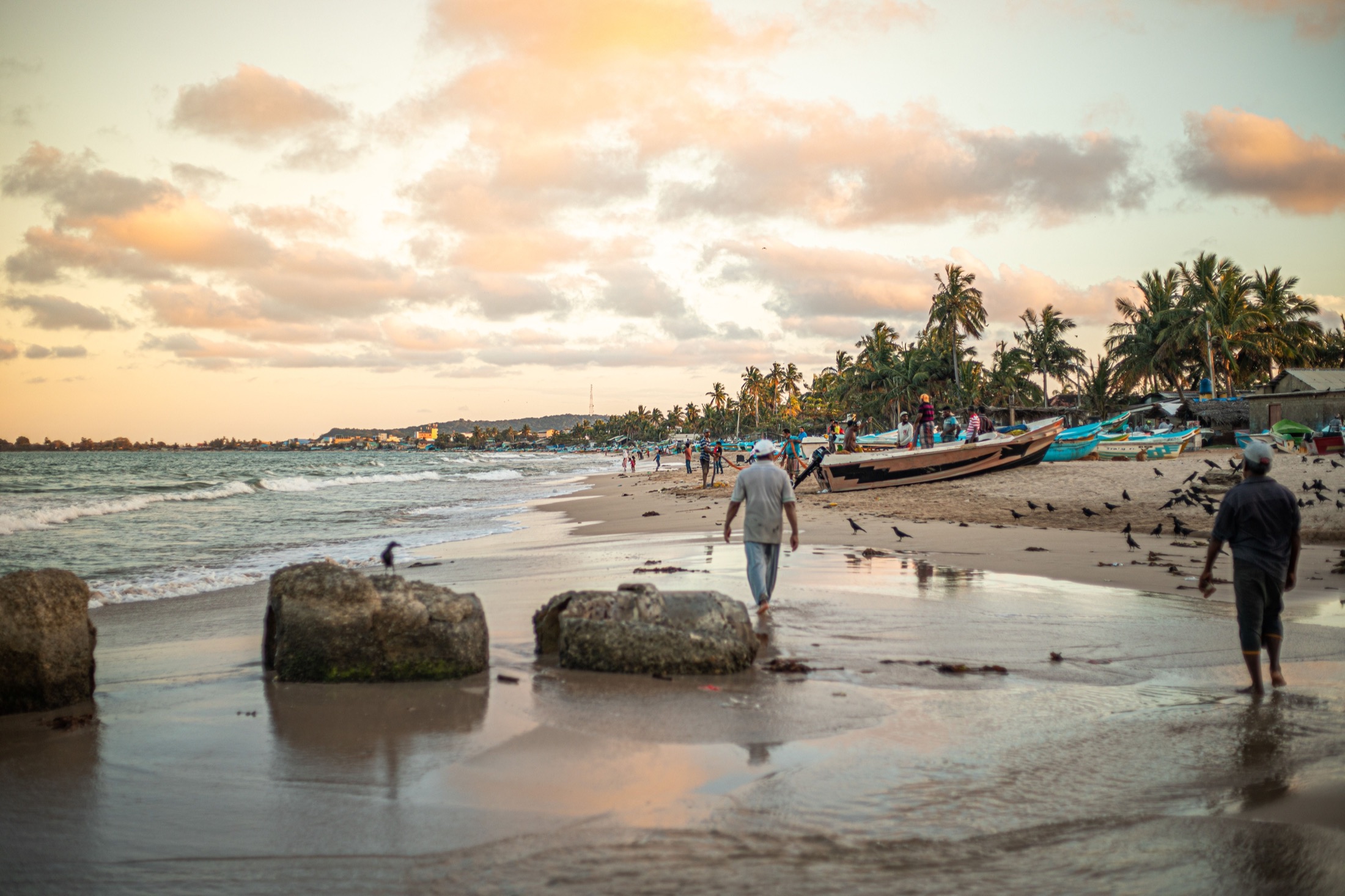
The monsoons and shoulder seasons answer one another. Your departure month guides the itinerary without ever replacing a region-by-region view.
Sri Lanka follows two monsoons, with transition periods between them. From December to February, the South and West are often the simplest areas to connect. From May to September, travellers tend to turn to the East, North and dry zone. Between those periods, the Cultural Triangle and Highlands offer strong alternatives.
The consequence is simple: your departure month gives the journey a direction, then your priorities refine it. The South and East Coast may appear side by side on a map, but they do not offer the same conditions at the same time. If beach time matters, we choose the right side of the island first.
Shoulder seasons, particularly spring and autumn, call for more flexibility. Showers can happen in several regions without making the country inaccessible. Temperatures remain tropical on the coasts and cooler in the Highlands, where a light layer is often welcome in the evening.
The season shapes the route
You give us a month. We choose the right coast.
The best coast depends on your departure date. We then shape each stage around your wishes, never around a ready-made formula.
December → April
The South, West and Highlands naturally come into their own.
May → September
The East, North and dry zone become the most natural choice.
The regions
Nine regions. One island, many journeys.
A journey often links three, four or five of them. Swipe through, notice what draws you in, then tell us when you would like to travel.
Explorer les régions
Neuf façons de vivre l'île
1 / 9Faites glisser pour explorer
The Cultural Triangle
2 to 4 nightsSigiriya · Dambulla · Polonnaruwa · Habarana
Two thousand years carved in stone
Découvrir la région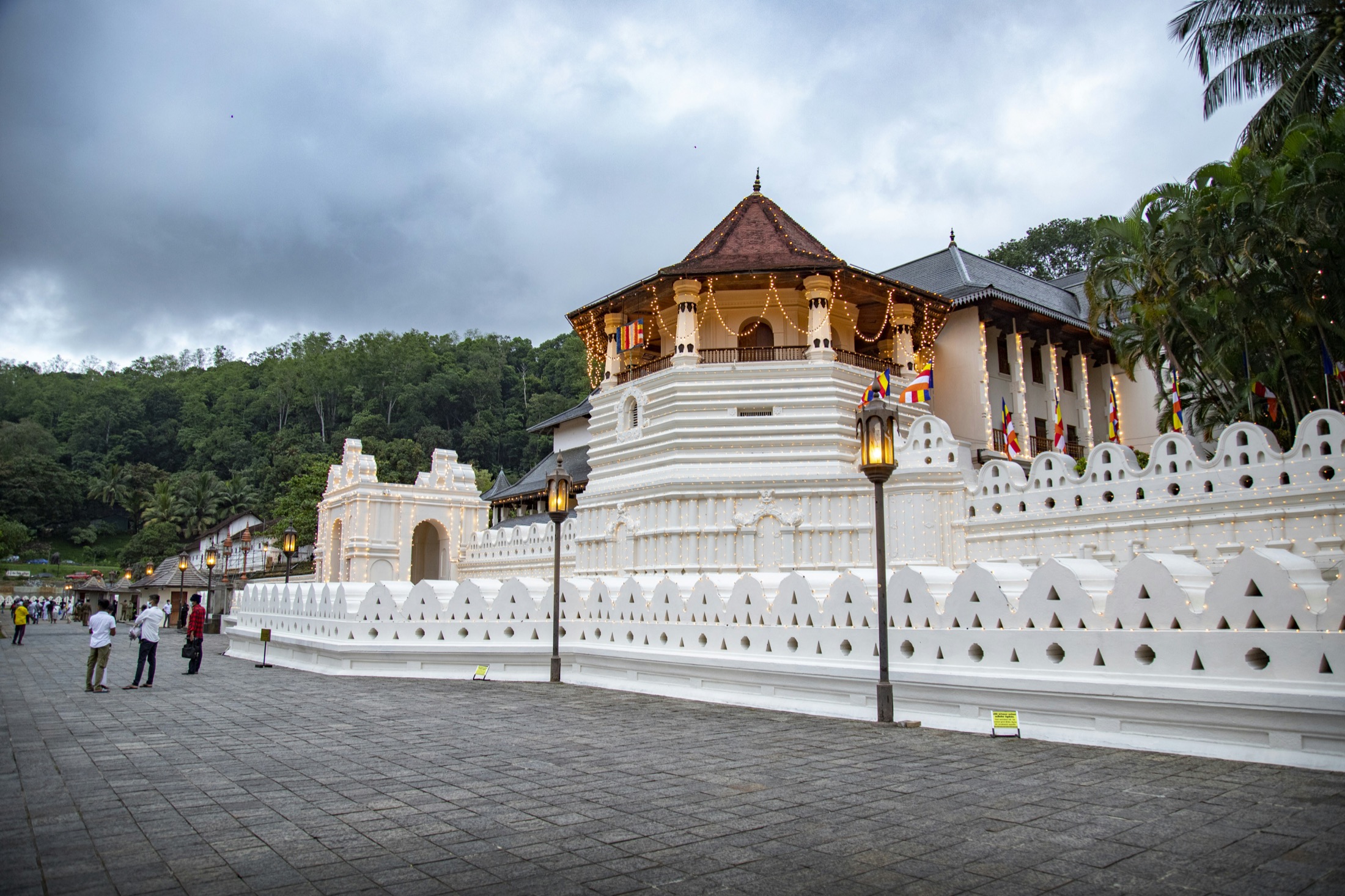
Kandy & the Central Highlands
2 to 3 nightsKandy · Knuckles · Matale
The cultural heart, between lake and hills
Découvrir la région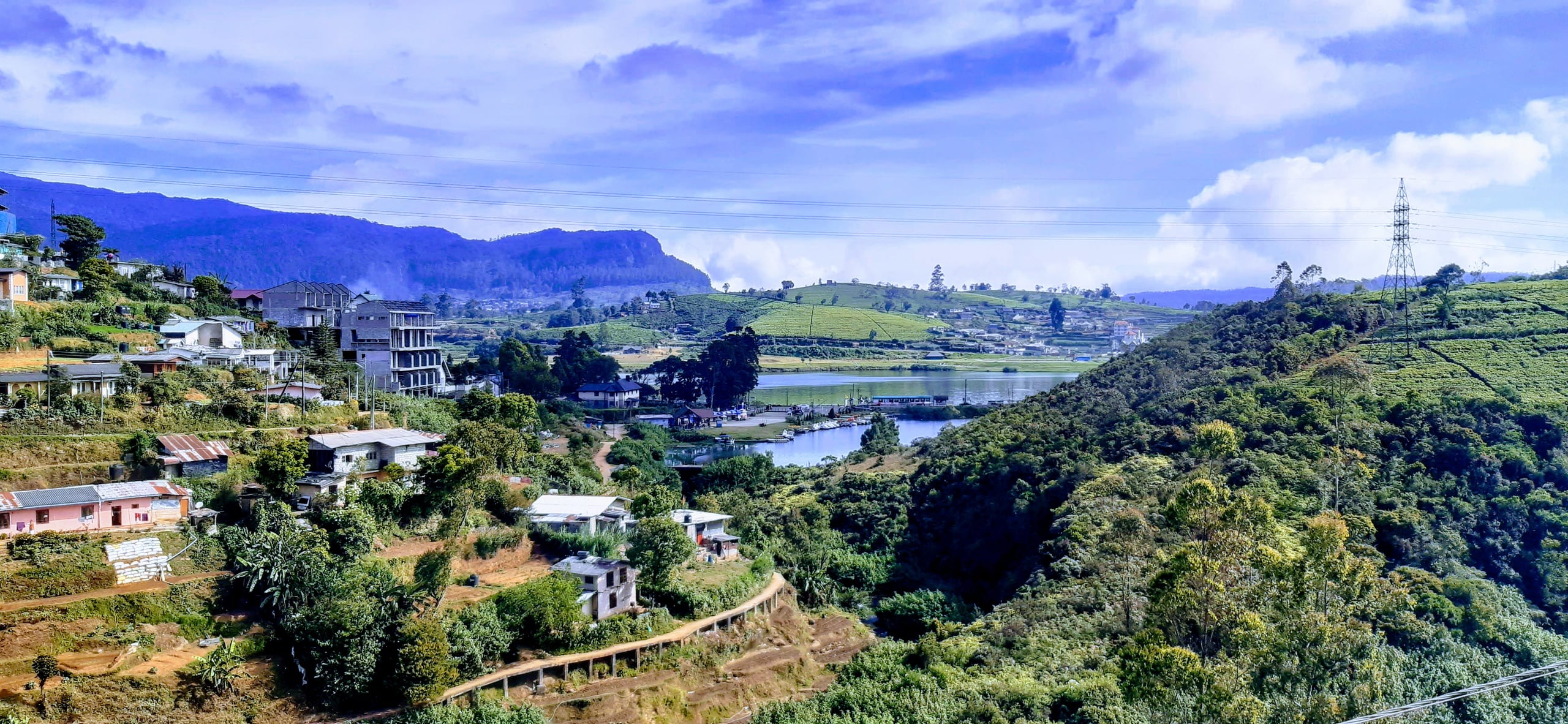
The Highlands
2 to 3 nightsElla · Haputale · Nuwara Eliya
Tea, mist and one of the world's finest train rides
Découvrir la région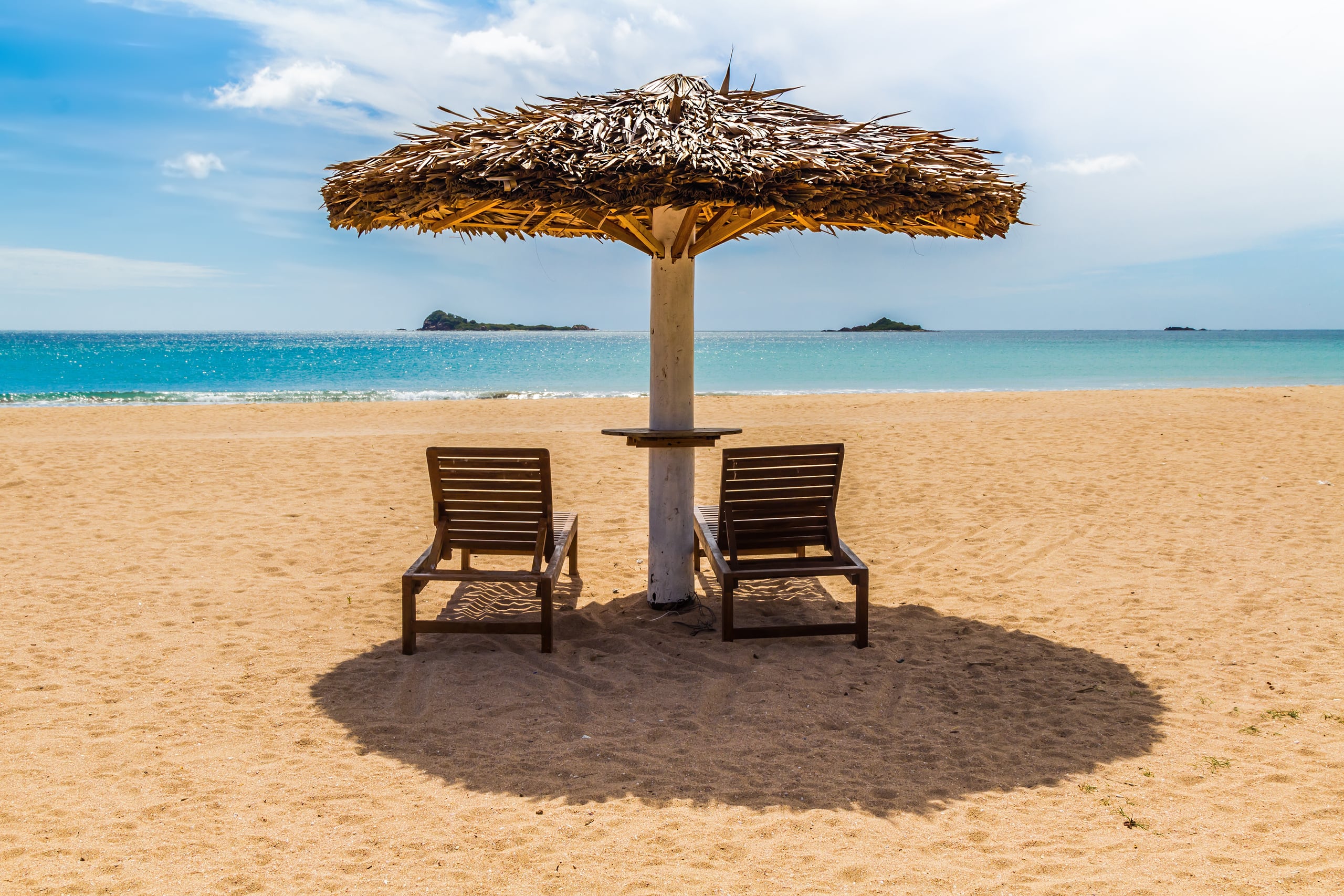
East Coast: Trincomalee
2 to 4 nightsTurquoise water in the north-east
Découvrir la région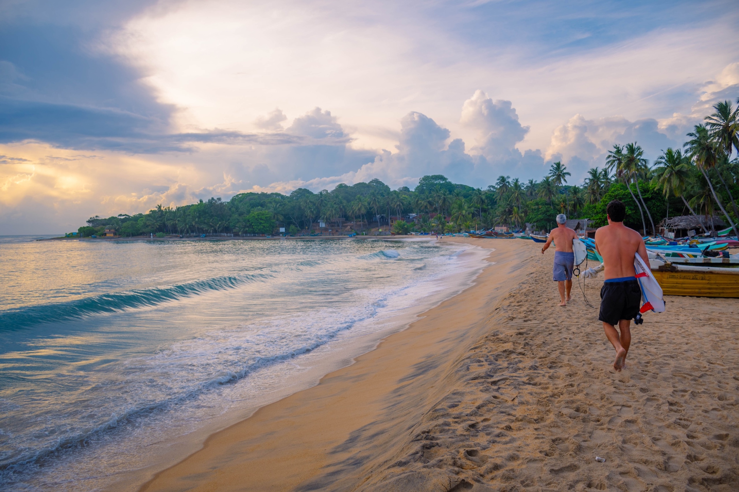
East Coast: Arugam Bay
3 to 4 nightsA bohemian surf kingdom
Découvrir la région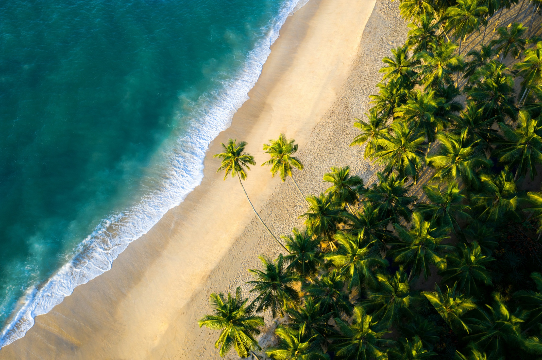
The South-East
2 to 3 nightsRekawa · Kalametiya · Tangalle
Wild Sri Lanka, between lagoons and turtles
Découvrir la région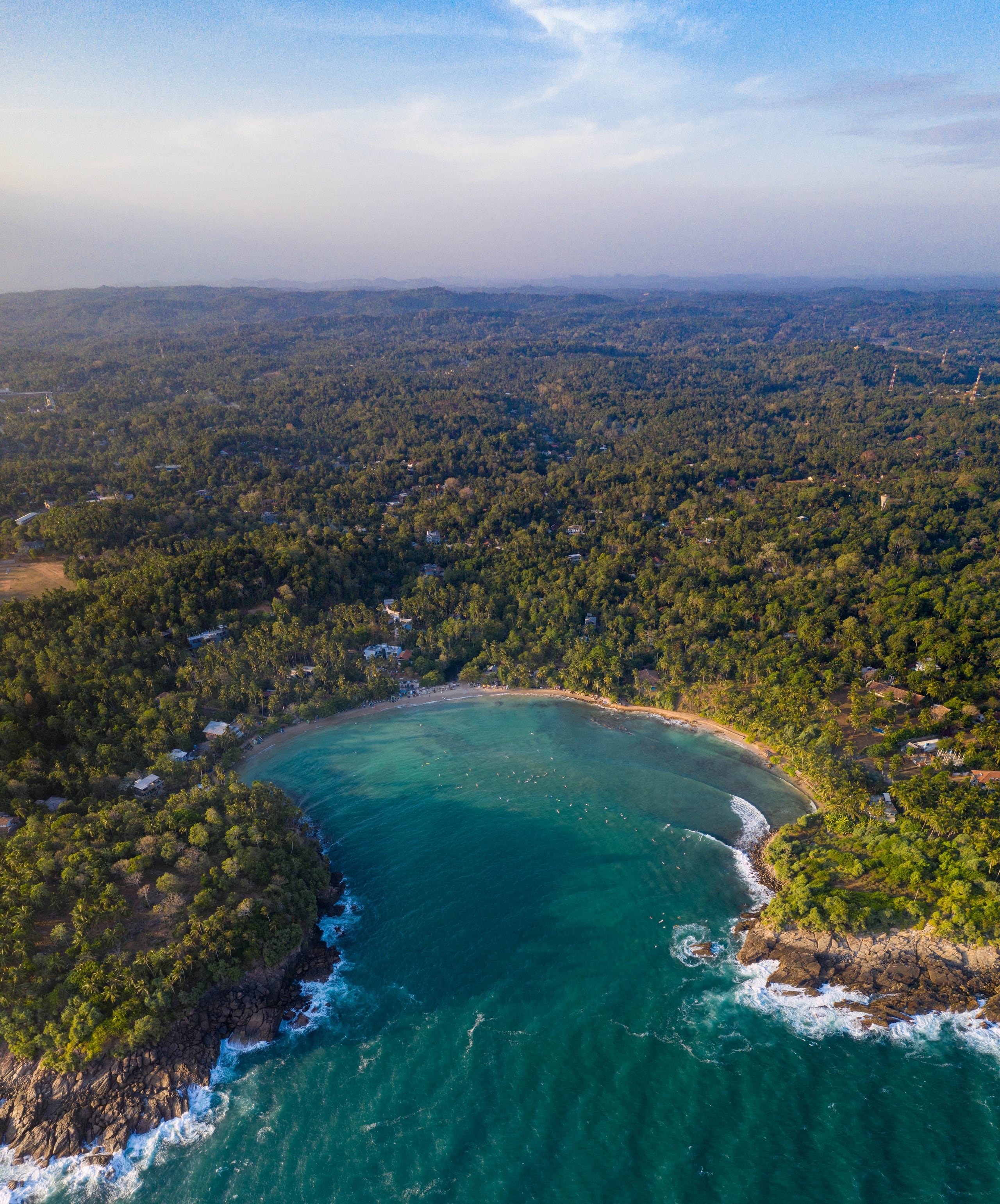
The South Coast
3 to 7 nightsGalle · Mirissa · Weligama · Madiha
Sri Lanka, postcard edition
Découvrir la région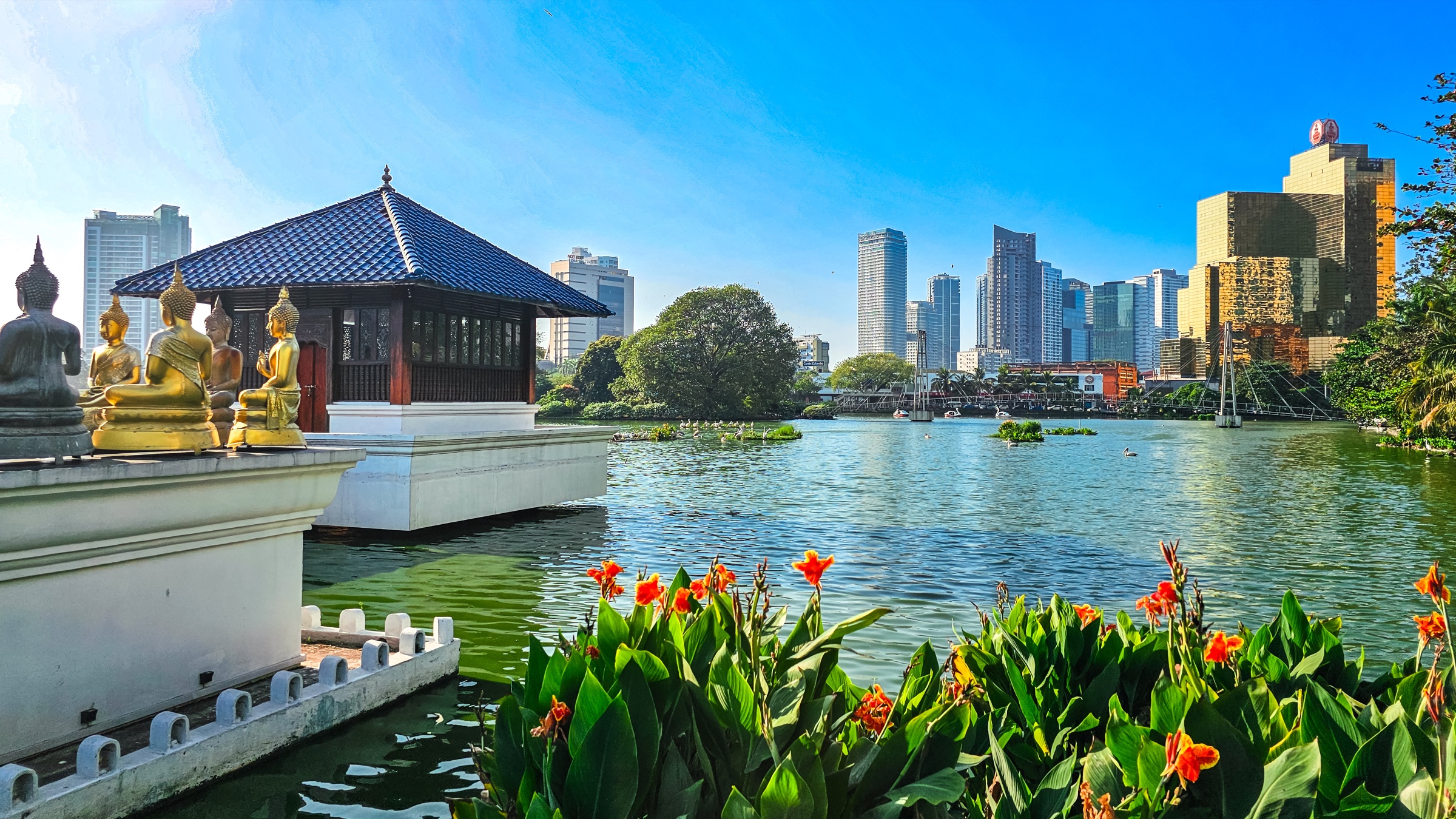
The West Coast
1 to 3 nightsColombo · Negombo · Kalpitiya
The island's first and last horizon
Découvrir la région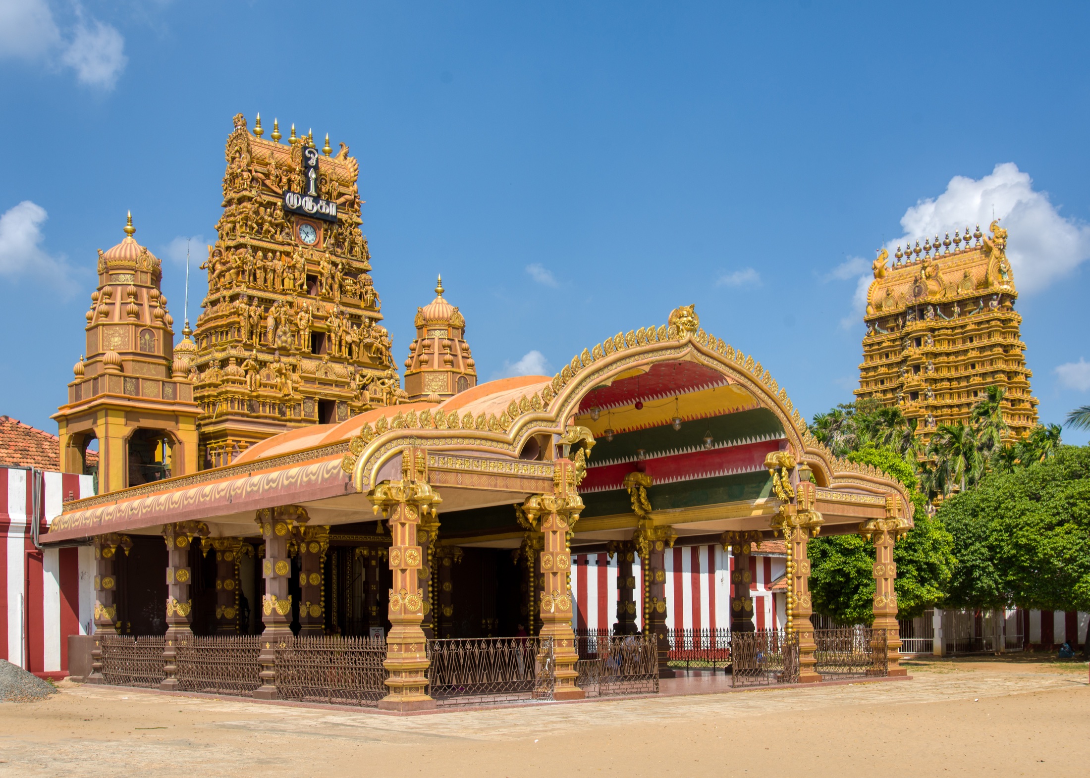
The North & Jaffna
2 to 4 nightsJaffna · Delft · Point Pedro
A different Sri Lanka, facing India
Découvrir la région
Lankahiru Travel
Your departure date is enough to get started.
We will first point you towards the regions that best suit your dates.
Talk about my journey